
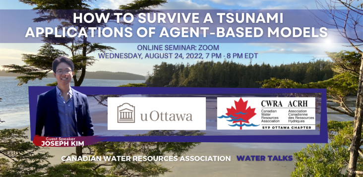
Aug. 9th, 2022 @ 12pm CT: MB Branch Webinar – “Applying a hydrodynamic model to estimate fish stranding risk downstream from a hydropeaking hydroelectric station” with Andrea Kneale
MB Branch Webinar
Date and Time: Aug 9th @ 12 -1 pm CT
Webinar Title: Applying a Hydrodynamic Model to Estimate Fish Stranding Risk Downstream from a Hydropeaking Hydroelectric Station
Presenter: Andrea Kneale (P.Eng. – Instream Flow Needs – Ecosystem and Oceans Science – Arctic and Aquatic Research Division – DFO)
Abstract: Hydropeaking hydroelectric stations provide renewable energy to many communities by adjusting operations intime with energy demands. Due to this operating system, downstream rivers experience frequent and rapid fluctuations in water surface elevation (WSE); thus, drastically altering the natural flow regime. These changes in the WSE cause fish to be beached or trapped from the main thalweg. There are no standardized methods for determining the extent of fish stranding on a large scale and thus, the true impact of hydropeaking on fish stranding is unknown. A remotely piloted aircraft system (RPAS) was deployed to capture 2D photogrammetry flights of the study site, a 16-km river reach downstream of a hydropeaking hydroelectric facility in northern Saskatchewan, Canada. Structure-from-motion software was used to process the images and develop a digital elevation model (DEM) of the exposed river bed and banks. Bathymetry and discharge surveys were conducted to obtain accurate water depth, substrate, velocity, and discharge measurements of the wetted channel. The DEM and water depth data were used to create a comprehensive elevation map of the river bed and banks. The elevation map, as well as the substrate, velocity, and discharge data, were used to develop a two-dimensional (2D) hydrodynamic model. The model was used to define dewatered areas with fish stranding potential by simulating a wide variety of discharges that best represent hydroelectric station operations. Using a combination of physical habitat assessments, hydrodynamic modelling, and empirical data on fish stranding we were able to estimate the number of fish stranding over a five-month period for three model years. Our technique of estimating fish stranding on a large scale allows for a greater understanding of the impact hydropeaking has on the fish community and can be applied to other riverscapes threatened by hydropeaking.
Cost:
[su_table]| CWRA Member | $10 |
| CWRA Non-Member | $15 |
| Student/SYP Member | $10 |
| Student/SYP Non-Member | $10 |
[su_button url=”https://cwra.org/en/membee-events/#id=10191&cid=1410&wid=701 ” target=”blank” style=”flat” background=”#0070b2″ size=”10″ center=”yes” radius=”round”]Register for the Webinar[/su_button]
