
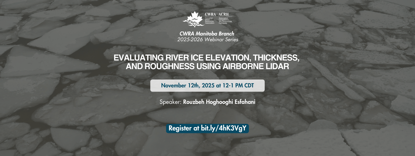
Nov 12, 2025: MB Branch Webinar: Evaluating River Ice Elevation, Thickness, and Roughness Using Airborne LiDAR
Time: Nov 12, 2025 – 12 PM CDT
Speaker: Rouzbeh Hoghooghi Esfahani
Topic: Evaluating River Ice Elevation, Thickness, and Roughness Using Airborne LiDAR
Description:
Monitoring river ice processes is essential for understanding ice-related hydraulic dynamics and potential flood risks. In this study, high-resolution top-of-ice elevation was surveyed using airborne LiDAR, providing key information for characterizing the ice cover. Building on this foundation, two critical parameters, ice thickness and ice surface roughness, were analyzed using an integrative approach. Ice thickness in a fluvial setting was estimated by combining field- measured water levels with a LiDAR-derived digital elevation model (DEM), leveraging the synergy between in situ observations and remote sensing data. Additionally, Ice surface roughness was quantified and classified using statistical metrics.
The study also assessed the performance of the Matrice-350 RPA equipped with the DJI L2 LiDAR, which demonstrated high precision in capturing elevation data and surface imagery, proving effective for ice-covered rivers in challenging environments. Ice surface roughness was quantified and classified using statistical metrics.
This study highlights the capability of RPA-mounted LiDAR for comprehensive river ice monitoring, enhancing understanding of ice processes and improving numerical model accuracy for ice jam simulations.