")
March 22, 2022 1-2PM ET: NRCAN Webinar: Introducing the Flood Hazard Identification and Mapping Program (FHIMP)
Presenter: Brian Perry
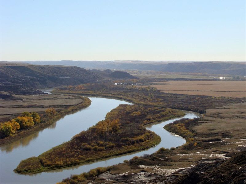
High quality flood mapping that is current and accessible will help governments, communities and individuals understand flood risks. Many parts of Canada are missing up-to-date flood maps that delineate flood hazard zones, which are essential for flood risk planning and mitigation. The Government of Canada is investing $63.8M in its Flood Hazard Identification and Mapping Program (FHIMP) to help Canadians better plan and prepare for future flood risks.
In this presentation, Natural Resources Canada (NRCan) will provide an update on Canada’s Centre for Mapping and Earth Observation’s current flood mapping activities. Of particular interest, they will share new information about the launch of FHIMP, a joint initiative led by NRCan and supported by both Public Safety and Environment and Climate Change Canada. This program aims to produce flood hazard data and maps for high priority areas across the country by collaborating with provincial and territorial jurisdictions to deliver mapping products that will be accessible to all Canadians. Updates will also be provided on the progress of various initiatives related to guidance, data and products for flood mapping.
This webinar is free to attend.
Une présentation sur ce sujet en français sera donnée le 24 mars.
[su_button url=”https://attendee.gotowebinar.com/register/1451951705450086156″ target=”blank” style=”flat” background=”#0070b2″ size=”10″ center=”yes” radius=”round”]Register Here![/su_button]